Advantages
OF OUR HOTELS
OF OUR HOTELS
Hotelania Group. Experience, professionalism and quality
More than 20 years of professional experience dedicated to provide quality services in our hotels.
Delfines Hotel & Suites and Gaviotas Hotel & Event Center makes us a reference hotel complex in La Manga del Mar Menor, where our guests will undoubtedly find everything they are looking for during their holiday: fun, relaxation, excellent treatment, the best services and where they will always be greeted with a big smile.
Delfines Hotel & Suites welcomes hundreds of athletes every year who are looking for a hotel that meets their needs. Every year we host teams and athletes from all over the world who come to enjoy sports in La Manga. We have all the facilities to guarantee an excellent service during your stay in our hotel.
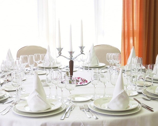
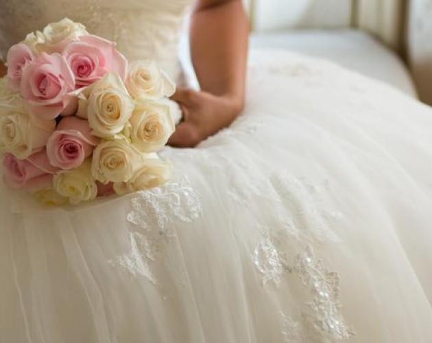
Gaviotas Hotel & Event Center hosts all kinds of events every year. From business conferences to private celebrations and weddings. We have different rooms to suit the needs of each type of event and the capacity of the same. Contact us!
We invite you to discover our two hotels in the area of La Manga, in Cabo de Palos. Tourist area with a wide range of leisure and entertainment. Also, enjoy the best gastronomy in Murcia, we encourage you to visit us!
With Hotelania's gift vouchers, surprise your loved ones with a getaway full of sensations.
A round of golf or a weekend of total disconnection...
You choose the experience, they enjoy the magic.

At Hotelania, every detail counts. That's why we have renewed our proposal to make your stay more comfortable, simple and pleasant.
Now, in our Half Board and Full Board rates, enjoy drinks included during lunch and dinner while you explore our renovated restaurant area.
ACTIVITIES AND LEISURE IN LA MANGA
La Manga and Cabo de Palos offers a wide range of possibilities. We have listed a selection of the best sports, leisure and cultural activities that you can do in La Manga and Cabo de Palos during your stay with us.
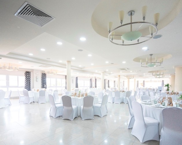


We have the ideal solution for organizing all kinds of events or meetings in our hotels. Thanks to the meeting rooms and halls equipped with the most modern and functional audiovisual equipment, we can take care of any event. Ask us!
An ideal place to hold meetings, company or business lunches and celebrations of all kinds: weddings, communions, baptisms...
With capacity for up to 450 people and banquets for up to 350 diners. With private garage.